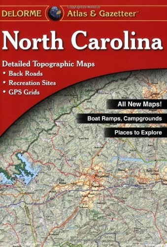
With over 12,000 new roads you can rely on the North Carolina Atlas & Gazetteer for the utmost in trip planning and backcountry access. Contains topographic maps with unbeatable detail, plus gazetteer information on great places to go and things to do. Scale equals 1:150,000 or 1"=2.4 miles. Contour Interval 20' or 200', depending on terrain. Each page covers 24.7 miles x 34.5 miles, with GPS Grids & tick marks and shaded relief. In addition included is a North Carolina highway map. 76 pages of maps,with 88 pages total in this book. Gazetteer categories include, Bike routes, Boat launch sites, Campgrounds, Ferries, Freshwater fishing, Hiking, Historic sites, Hunting: State game lands, Lighthouses, Museums, Science centers, Pier fishing, Recreation areas, River trips, Trout waters, Unique natural features, Welcome centers, and Wildlife.
Authors
Delorme
Additional Info
- Release Date: 2012-03-01
- Publisher: DeLorme Publishing
- Format: Paperback
- ISBN: 9780899332772
No copies of this item are currently available.