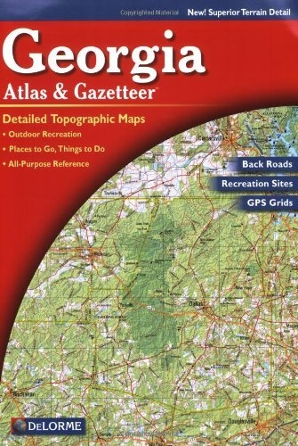
Rely on the Georgia Atlas & Gazetteer for the utmost in trip planning and backcountry access. Contains topographic maps with unbeatable detail, plus gazetteer information on great places to go and things to do. Scale equals 1:250,000 or 1"=4 miles. Contour Interval is 400'. Each page covers 36.7 miles x 51.8 miles and includes GPS Grids & tick marks. Special Features include publicly owned lands locater map and shaded relief maps. Gazetteer categories include Attractions, Campgrounds, Freshwater fishing, Golf courses Historic sites, Hunting, Recreation areas, Saltwater fishing, Scenic drives, Trails and Unique natural features to Georgia.
Authors
DeLorme
Additional Info
- Release Date: 2010-10-01
- Publisher: DeLorme Publishing
- Format: Paperback
- ISBN: 9780899332536
No copies of this item are currently available.