(407) 622-6657

Shipping is just $4.99

Merchandise Total : $431.05

Shipping : $4.99

We offer free store pickup!

The item could not be added to your cart because no copies are available.
Product Image

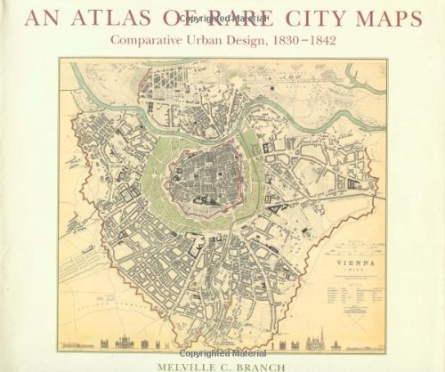
Atlas of Rare City Maps: Comparative Urban Design, 1830-1842

Author Melville Branch

Format Hardcover

Publisher Princeton Architectural Press

Category Geography and Maps

Out of Stock

Notify Me

We can notify you when we add a copy of this item to our inventory using your account.


Expecting it to be available? We double-check our inventory before displaying available copies to you which sometimes means an "in stock" item will have no copies available for purchase. We are working to improve this part of our online experience.
For the visual historians among us, An Atlas of Rare City Maps is a cartographic feast. It presents 40 map plans of cities in Europe, Russia, the United States, and Asia--all published in the 19th century by England's Society for the Diffusion of Useful Knowledge, and all commissioned and drawn within a period of 13 years. See Munich, Calcutta, Dublin, and Warsaw, Madrid, Moscow, and New York as they once were, and relish the hand-colored, hand-lettered steel engravings. The maps are artistic gems, representative of an era of skill, and reproduced in fine detail.

Authors

Melville Branch

Additional Info

  • Publisher: Princeton Architectural Press
  • Format: Hardcover
  • ISBN: 9781568980737

No copies of this item are currently available.